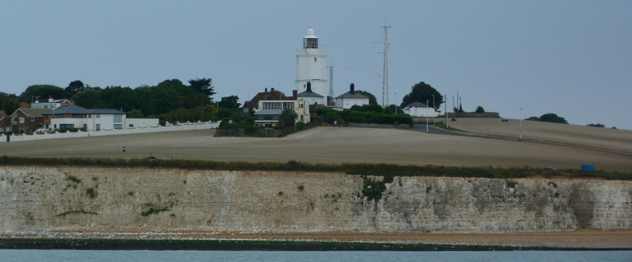
Crossing the Thames Estuary
Third Edition, available at Imray.com.
The Third Edition has with all the popular content fully revised -
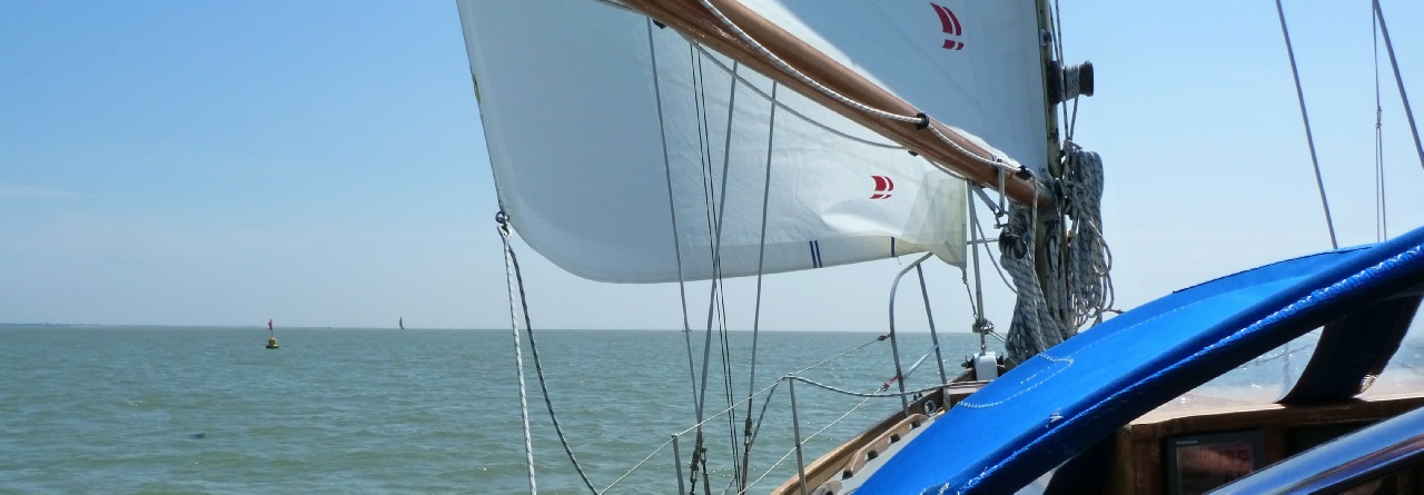
An indispensable companion for planning Thames estuary passages, this book provides you with everything you need to plan your passage across the Thames Estuary.
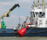
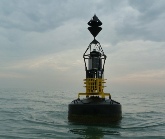
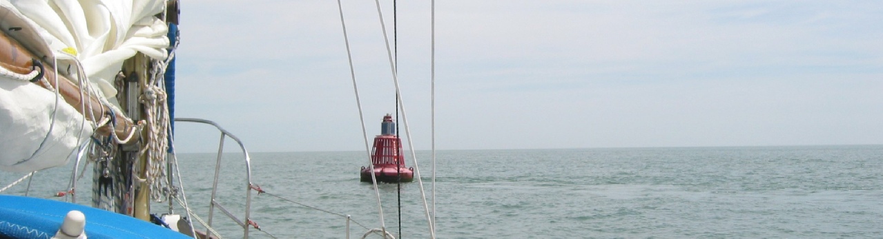
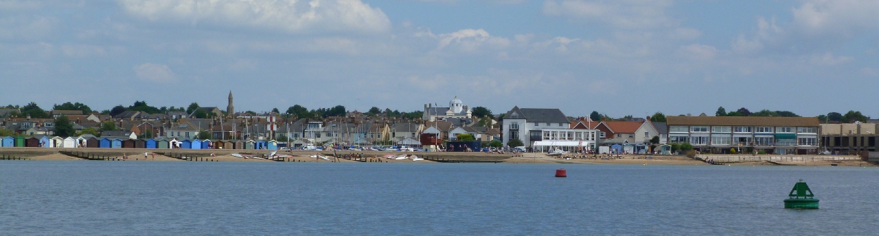
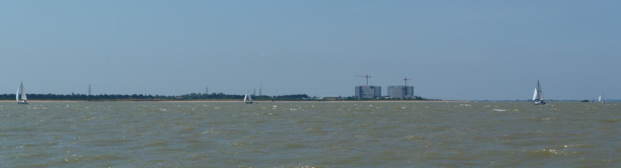
The book provides you with guidance on the choice of route, variously between Ramsgate and the Kent, Essex and Suffolk Rivers. In the Third Edition, route guidance is provided for 60 routes, including the ‘outside’ route between Ramsgate and Harwich Harbour and the Deben. Each chapter provides all the data -
The new tables are a major development based on the original data but needs no calculations: it provides the results every 30 minutes of the day, for each route, northwards, southwards, Springs or Neaps at 4, 5, 6 or 7 knots boat speed. You just make the choice.
A consolidated update, issued as required, keeps this book entirely up-
Other information available here
Go to ‘Updates’ for the consolidate update. Also see our unique illustrated current Notices to Mariners service for the southern east coast of the UK and across to France, Belgium and part of Holland. Access is also provided to current Navtex data, live wind speed and wave height data and a choice of weather forecast sites. This can be found via the Navigation page.
What’s on this Web Site


Crossing the Thames Estuary
By Roger Gaspar, published by 


Copyright © All rights reserved Roger Gaspar 2105
To be notified whenever an amendment is published for the book, please sign up here
Please note that the Notices to Mariners service is regular and is added very week. No notification is therefore provided.
Sign up for Book Updates
| Bonus Supplement |
| The 'Odd' Videos |
| Notices to Mariners |
| Chart Corrections Links |
| Links to live data sites |